
Hekimbaşı Mahallesi topographic map
Interactive map
Click on the map to display elevation.
About this map
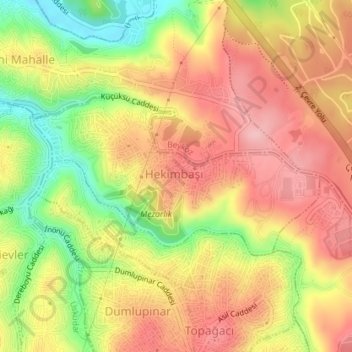
Name: Hekimbaşı Mahallesi topographic map, elevation, terrain.
Location: Hekimbaşı Mahallesi, Ümraniye, İstanbul, Marmararegion, Türkei (41.05329 29.08360 41.06545 29.11275)
Average elevation: 95 m
Minimum elevation: 4 m
Maximum elevation: 160 m
Other topographic maps
Click on a map to view its topography, its elevation and its terrain.