Geolocate

Tanah Hitam topographic map

Click on the map to display elevation.

About this map

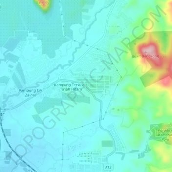
Name: Tanah Hitam topographic map, elevation, terrain.

Location: Tanah Hitam, Chemor, Kinta, Perak, 31200, Malaysia (4.70592 101.12246 4.74592 101.16246)

Average elevation: 107 m

Minimum elevation: 68 m

Maximum elevation: 294 m

Other topographic maps

Click on a map to view its topography, its elevation and its terrain.

Sungai Chemor

Malaysia > Perak > Chemor > Tanah Hitam

Average elevation: 90 m

Gear up for your next adventure:

🧢Sun Hat - Wide-brim hat for sun protection
🥾Hiking Shoes - Durable and comfortable shoes for trail hiking
💧Filtered Water Bottle - Safe drinking water on the go
🥾Trail Running Shoes - Lightweight and durable shoes for trail running
🔦LED Headlamp - Hands-free lighting for early morning starts or late finishes

As an Amazon Associate, this site earns from qualifying purchases at no extra cost to you.