
Gyál topographic map
Interactive map
Click on the map to display elevation.
About this map
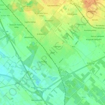
Name: Gyál topographic map, elevation, terrain.
Location: Gyál, Gyáli járás, Pest megye, Hongrie centrale, 2360, Hongrie (47.34455 19.17731 47.42455 19.25731)
Average elevation: 116 m
Minimum elevation: 102 m
Maximum elevation: 141 m