
Belot topographic map
Interactive map
Click on the map to display elevation.
About this map
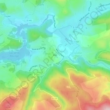
Name: Belot topographic map, elevation, terrain.
Location: Belot, Béziers, Hérault, Occitania, Metropolitan France, France (43.58128 2.67208 43.62128 2.71208)
Average elevation: 753 m
Minimum elevation: 655 m
Maximum elevation: 960 m