Geolocate

Hidden Acres topographic map

Click on the map to display elevation.

About this map

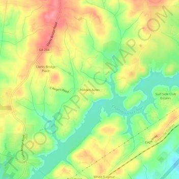
Name: Hidden Acres topographic map, elevation, terrain.

Location: Hidden Acres, Hall County, Georgia, United States (34.35566 -83.79073 34.39566 -83.75073)

Average elevation: 356 m

Minimum elevation: 307 m

Maximum elevation: 407 m

Other topographic maps

Click on a map to view its topography, its elevation and its terrain.

Clermont

United States > Georgia > Hall County

Average elevation: 425 m

Flowery Branch

United States > Georgia > Hall County

Average elevation: 343 m

Gear up for your next adventure:

🔦LED Flashlight - Powerful and long-lasting flashlight for camping and emergencies
Lightweight Backpacking Tent - Compact tent for efficient hiking trips
🥾Trail Hiking Socks - Comfortable socks to prevent blisters and fatigue
🔦LED Headtorch - Bright and durable light for night activities
🧼Biodegradable Camp Soap - Environmentally friendly cleaning for gear and body

As an Amazon Associate, this site earns from qualifying purchases at no extra cost to you.