
Sakaka topographic map
Interactive map
Click on the map to display elevation.
About this map
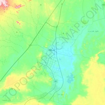
Name: Sakaka topographic map, elevation, terrain.
Location: Sakaka, Provinz al-Dschauf, 3628, Saudi-Arabien (29.81028 40.04861 30.13028 40.36861)
Average elevation: 608 m
Minimum elevation: 543 m
Maximum elevation: 819 m