
Garividi topographic map
Click on the map to display elevation.
About this map
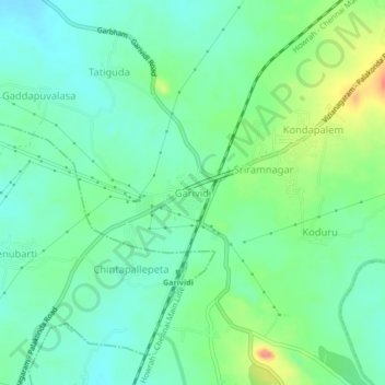
Name: Garividi topographic map, elevation, terrain.
Location: Garividi, Vizianagaram District, Andhra Pradesh, 535101, India (18.26202 83.51292 18.30202 83.55292)
Average elevation: 94 m
Minimum elevation: 71 m
Maximum elevation: 148 m