
Red Rapids topographic map
Interactive map
Click on the map to display elevation.
About this map
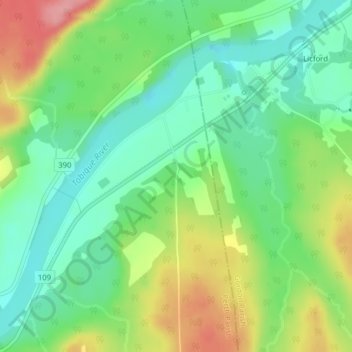
Name: Red Rapids topographic map, elevation, terrain.
Average elevation: 125 m
Minimum elevation: 85 m
Maximum elevation: 190 m
Other topographic maps
Click on a map to view its topography, its elevation and its terrain.
Tobique
Canada > New Brunswick > Perth Parish
Tobique, Perth Parish, Victoria County, New Brunswick, E7H 3Y4, Canada
Average elevation: 175 m