
Hyderabad topographic map
Interactive map
Click on the map to display elevation.
About this map
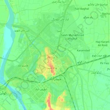
Name: Hyderabad topographic map, elevation, terrain.
Location: Hyderabad, Sindh, 91000, Pakistan (25.34346 68.31032 25.47114 68.42009)
Average elevation: 21 m
Minimum elevation: 10 m
Maximum elevation: 45 m
Other topographic maps
Click on a map to view its topography, its elevation and its terrain.