
Symington topographic map
Interactive map
Click on the map to display elevation.
About this map
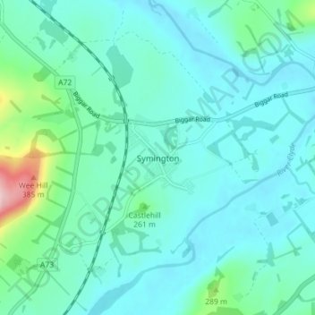
Name: Symington topographic map, elevation, terrain.
Location: Symington, South Lanarkshire, Écosse, ML12 6JY, Royaume-Uni (55.58015 -3.61541 55.62015 -3.57541)
Average elevation: 231 m
Minimum elevation: 194 m
Maximum elevation: 427 m