
Ahumada topographic map
Interactive map
Click on the map to display elevation.
About this map
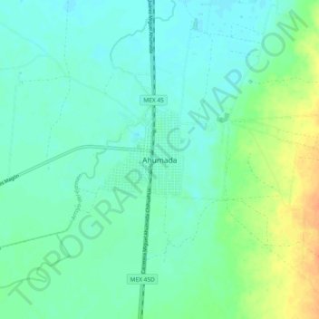
Name: Ahumada topographic map, elevation, terrain.
Location: Ahumada, Chihuahua, México (30.57285 -106.55240 30.65285 -106.47240)
Average elevation: 1,204 m
Minimum elevation: 1,194 m
Maximum elevation: 1,227 m