
Raura topographic map
Click on the map to display elevation.
About this map
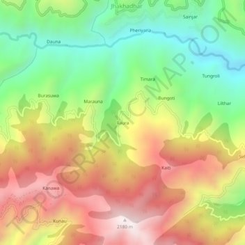
Name: Raura topographic map, elevation, terrain.
Location: Raura, Chakrata, Dehradun, Uttarakhand, India (30.66075 77.91216 30.70075 77.95216)
Average elevation: 1,600 m
Minimum elevation: 1,076 m
Maximum elevation: 2,195 m