Geolocate

Saddle topographic map

Click on the map to display elevation.

About this map

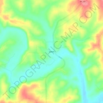
Name: Saddle topographic map, elevation, terrain.

Location: Saddle, Fulton County, Arkansas, United States (36.33507 -91.65875 36.37507 -91.61875)

Average elevation: 173 m

Minimum elevation: 138 m

Maximum elevation: 224 m

Gear up for your next adventure:

🦯Trekking Poles - Reduced impact on joints for steep topographic climbs
🧼Travel Hand Sanitizer - Keep hands clean when water is scarce
🥾Trail Hiking Boots - Supportive boots for rough trails
🧢Outdoor Visor - Breathable visor for sunny hikes
🧭Orienteering Kit - Tools for map reading and navigation in the wild

As an Amazon Associate, this site earns from qualifying purchases at no extra cost to you.