Geolocate

Ahiron topographic map

Click on the map to display elevation.

About this map

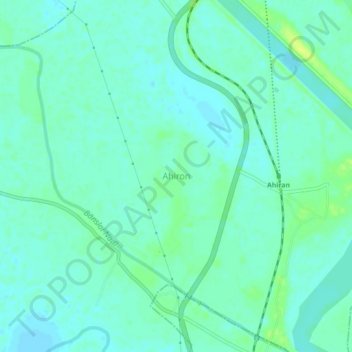
Name: Ahiron topographic map, elevation, terrain.

Location: Ahiron, Suti - I, Murshidabad, West Bengal, 742223, India (24.49882 88.00881 24.53882 88.04881)

Average elevation: 21 m

Minimum elevation: 16 m

Maximum elevation: 32 m

Gear up for your next adventure:

🧴Sunscreen SPF - Broad-spectrum sunscreen for outdoor activities
Camping Tent - Weather-resistant tents suitable for 2 to 6 people
🧣Merino Neck Gaiter - Protects against wind, sun, and cold at high altitudes
Tent Footprint - Protect tent floor and increase durability
🥽Outdoor Goggles - Protective eyewear for outdoor activities

As an Amazon Associate, this site earns from qualifying purchases at no extra cost to you.