Geolocate

Bushy topographic map

Click on the map to display elevation.

About this map

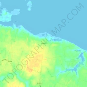
Name: Bushy topographic map, elevation, terrain.

Location: Bushy, Middlesex County, Virginia, 23176, United States (37.55653 -76.42967 37.59653 -76.38967)

Average elevation: 9 m

Minimum elevation: -5 m

Maximum elevation: 29 m

Other topographic maps

Click on a map to view its topography, its elevation and its terrain.

Urbanna

United States > Virginia > Middlesex County

Average elevation: 8 m

Gear up for your next adventure:

💧Filtered Water Bottle - Safe drinking water on the go
🥾Hiking Shoes - Durable and comfortable shoes for trail hiking
🧦Crew Hiking Socks - Comfortable socks for long-distance hikes
🕶️Polarized Sunglasses - Reduces glare from snow and water at high elevations
🧥Packable Rain Jacket - Breathable waterproof layer for unpredictable weather

As an Amazon Associate, this site earns from qualifying purchases at no extra cost to you.