Geolocate

Santa Maria topographic map

Click on the map to display elevation.

About this map

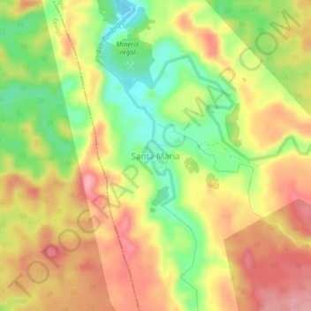
Name: Santa Maria topographic map, elevation, terrain.

Location: Santa Maria, Timbiquí, Pacífico, Cauca, Colombia (2.56795 -77.60044 2.60795 -77.56044)

Average elevation: 114 m

Minimum elevation: 48 m

Maximum elevation: 169 m

Gear up for your next adventure:

🔪Outdoor Multitool - Versatile tool for repairs and food prep in the wild
🧦Crew Hiking Socks - Comfortable socks for long-distance hikes
🧤Rechargeable Heated Gloves - Extreme warmth for Canadian winter expeditions
🥾Hiking Leggings - Comfortable leggings for outdoor activities
🛶Canoe Life Vest - Safety vest for water sports

As an Amazon Associate, this site earns from qualifying purchases at no extra cost to you.