Geolocate

Itharna topographic map

Click on the map to display elevation.

About this map

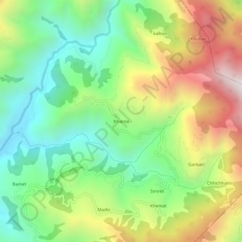
Name: Itharna topographic map, elevation, terrain.

Location: Itharna, Rishikesh, Dehradun, Uttarakhand, India (30.22374 78.25134 30.26374 78.29134)

Average elevation: 1,174 m

Minimum elevation: 709 m

Maximum elevation: 1,888 m

Gear up for your next adventure:

🛏️Sleeping Bag - Warm and compact sleeping bags for outdoor camping
💧Hydration Bladder - Hands-free hydration solution for long treks
🎒Hiking Daypack - Lightweight and durable backpacks for day trips and excursions
🥾Trail Hiking Socks - Comfortable socks to prevent blisters and fatigue
🏕️Camping Hammock - Integrated protection for sleeping between trees

As an Amazon Associate, this site earns from qualifying purchases at no extra cost to you.