Geolocate

Khadana topographic map

Click on the map to display elevation.

About this map

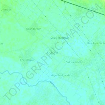
Name: Khadana topographic map, elevation, terrain.

Location: Khadana, Moradabad, Uttar Pradesh, India (28.83426 78.67842 28.87426 78.71842)

Average elevation: 197 m

Minimum elevation: 193 m

Maximum elevation: 204 m

Other topographic maps

Click on a map to view its topography, its elevation and its terrain.

Ramganga

India > Uttar Pradesh > Moradabad > Moradabad

Average elevation: 199 m

Gear up for your next adventure:

💧Collapsible Water Bottle - Space-saving water bottle for outdoor activities
🧥Thermal Fleece Jacket - Versatile insulation for changing mountain temperatures
🥾All-Terrain Hiking Boots - Versatile boots for varied hiking conditions
👟Leg Gaiters - Keep debris, mud, and snow out of your boots
🎒Backpack Rain Cover - External shield to keep your entire pack dry

As an Amazon Associate, this site earns from qualifying purchases at no extra cost to you.