Geolocate

Caguán topographic map

Click on the map to display elevation.

About this map

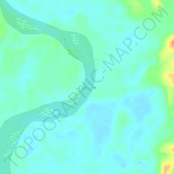
Name: Caguán topographic map, elevation, terrain.

Location: Caguán, San Vicente del Caguán, Caquetá, Colombia (1.77287 -74.78749 1.80761 -74.76748)

Average elevation: 231 m

Minimum elevation: 222 m

Maximum elevation: 267 m

Other topographic maps

Click on a map to view its topography, its elevation and its terrain.

Esmeralda

Colombia > Caquetá > San Vicente del Caguán

Average elevation: 249 m

Balsillas

Colombia > Caquetá > San Vicente del Caguán

Average elevation: 2,182 m

Guacamayas

Colombia > Caquetá > San Vicente del Caguán

Average elevation: 544 m

Gear up for your next adventure:

🛏️Camping Sleeping Mat - Comfortable mats for sleeping outdoors
🥾Waterproof Hiking Boots - Essential footwear for rugged terrain and wet Canadian trails
🔋Solar Power Bank - Keep your GPS and devices charged during long outdoor trips
🧥Ultralight Puffy Jacket - Maximum warmth that packs down to the size of an orange
🚑Survival Whistle - Signal for help across long distances in mountains

As an Amazon Associate, this site earns from qualifying purchases at no extra cost to you.