Geolocate

La Junta topographic map

Click on the map to display elevation.

About this map

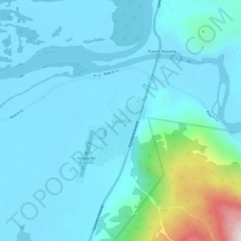
Name: La Junta topographic map, elevation, terrain.

Location: La Junta, Cisnes, Provincia de Aysén, Aysén Region, Chile (-43.99212 -72.42530 -43.95212 -72.38530)

Average elevation: 146 m

Minimum elevation: 26 m

Maximum elevation: 957 m

Gear up for your next adventure:

🥽Outdoor Goggles - Protective eyewear for outdoor activities
🥾Hiking Shorts - Breathable shorts suitable for summer hikes
🕶️Polarized Sunglasses - Protect your eyes with durable polarized lenses
🧢Beanie Hat - Keep your head warm in cold weather
🚲Bike Repair Kit - Essential tools for on-trail mechanical issues

As an Amazon Associate, this site earns from qualifying purchases at no extra cost to you.