Geolocate

Onno topographic map

Click on the map to display elevation.

About this map
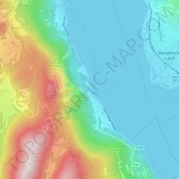
Name: Onno topographic map, elevation, terrain.

Location: Onno, Oliveto Lario, Lecco, Lombardia, 23865, Italia (45.89153 9.27345 45.93153 9.31345)

Average elevation: 453 m

Minimum elevation: 190 m

Maximum elevation: 1,082 m

Gear up for your next adventure:

🧤Rechargeable Heated Gloves - Extreme warmth for Canadian winter expeditions
🧰Emergency Multi-Tool - Compact multi-tool for outdoor survival
🧥Thermal Fleece Jacket - Versatile insulation for changing mountain temperatures
💡LED Headlamp - Hands-free illumination for night hiking and camping
🧣Evaporative Cooling Towel - Beat the heat during intense summer climbs

As an Amazon Associate, this site earns from qualifying purchases at no extra cost to you.