
Champguyon topographic map
Click on the map to display elevation.
Champguyon
Champguyon (French pronunciation: [ʃɑ̃ɡɥijɔ̃]) is a commune in the Marne department, Grand Est region, in north-eastern France. The commune has an area of 16.63 km2 and its altitude ranges from 159 to 214 meters. The nearest larger towns are Esternay (4 km to the south) and Sézanne (14 km to the southeast). As of 2019, there were 146 dwellings in Champguyon, of which 109 main residences.
About this map
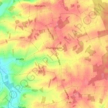
Name: Champguyon topographic map, elevation, terrain.
Average elevation: 181 m
Minimum elevation: 135 m
Maximum elevation: 206 m
Other topographic maps
Click on a map to view its topography, its elevation and its terrain.