
Mitundu topographic map
Interactive map
Click on the map to display elevation.
About this map
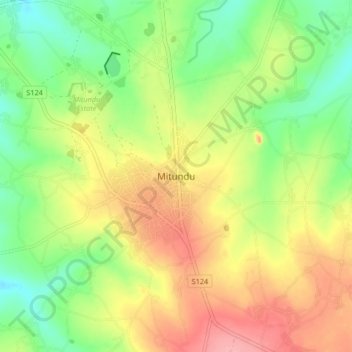
Name: Mitundu topographic map, elevation, terrain.
Location: Mitundu, Lilongwe, Central Region, Malawi, Malawi (-14.28867 33.73877 -14.20867 33.81877)
Average elevation: 1,191 m
Minimum elevation: 1,144 m
Maximum elevation: 1,245 m
Other topographic maps
Click on a map to view its topography, its elevation and its terrain.