
Laarbeek topographic map
Interactive map
Click on the map to display elevation.
About this map
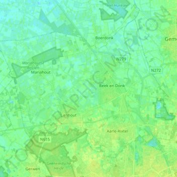
Name: Laarbeek topographic map, elevation, terrain.
Location: Laarbeek, Nordbrabant, Niederlande (51.49488 5.53308 51.56968 5.68601)
Average elevation: 15 m
Minimum elevation: 10 m
Maximum elevation: 21 m