
Artesonraju topographic map
Interactive map
Click on the map to display elevation.
About this map
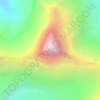
Name: Artesonraju topographic map, elevation, terrain.
Location: Artesonraju, Santa Cruz, Huaylas, Ancash, Peru (-8.95216 -77.63280 -8.95206 -77.63270)
Average elevation: 5,138 m
Minimum elevation: 4,500 m
Maximum elevation: 5,956 m