
Hidden Creek topographic map
Interactive map
Click on the map to display elevation.
About this map
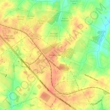
Name: Hidden Creek topographic map, elevation, terrain.
Location: Hidden Creek, Greenville County, South Carolina, 29644, USA (34.68792 -82.24642 34.72792 -82.20642)
Average elevation: 259 m
Minimum elevation: 226 m
Maximum elevation: 281 m