
Bruchem topographic map
Interactive map
Click on the map to display elevation.
About this map
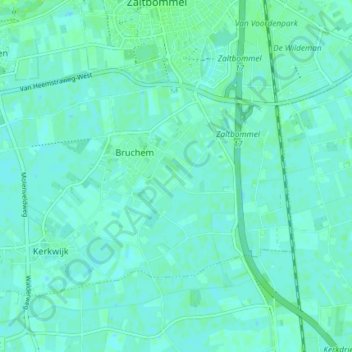
Name: Bruchem topographic map, elevation, terrain.
Location: Bruchem, Zaltbommel, Geldern, Niederlande (51.77096 5.19642 51.79728 5.26995)
Average elevation: 3 m
Minimum elevation: 0 m
Maximum elevation: 9 m
Other topographic maps
Click on a map to view its topography, its elevation and its terrain.
Nederhemert
Niederlande > Geldern > Zaltbommel
Nederhemert, Zaltbommel, Geldern, Niederlande
Average elevation: 3 m
Delwijnen
Niederlande > Geldern > Zaltbommel
Delwijnen, Zaltbommel, Geldern, Niederlande
Average elevation: 2 m