
El Rosario topographic map
Interactive map
Click on the map to display elevation.
About this map
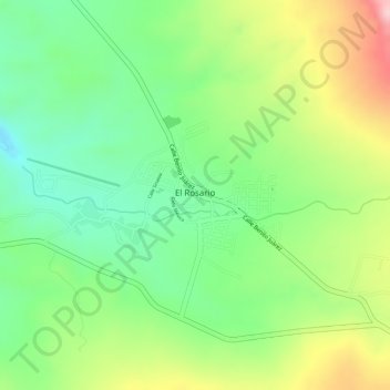
Name: El Rosario topographic map, elevation, terrain.
Location: El Rosario, Amatlán de Cañas, Nayarit, 63980, México (20.88640 -104.47471 20.89575 -104.46245)
Average elevation: 800 m
Minimum elevation: 703 m
Maximum elevation: 933 m
Other topographic maps
Click on a map to view its topography, its elevation and its terrain.
Mezquites
México > Nayarit > Amatlán de Cañas
Mezquites, Amatlán de Cañas, Nayarit, 63974, México
Average elevation: 598 m