
Twin Falls topographic map
Click on the map to display elevation.
About this map
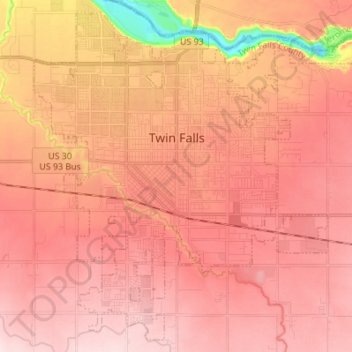
Name: Twin Falls topographic map, elevation, terrain.
Location: Twin Falls, Twin Falls County, Idaho, 83301, United States (42.51255 -114.51593 42.60642 -114.37903)
Average elevation: 1,138 m
Minimum elevation: 950 m
Maximum elevation: 1,230 m
Other topographic maps
Click on a map to view its topography, its elevation and its terrain.