Geolocate

Arcadia topographic map

Click on the map to display elevation.

About this map

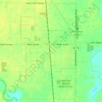
Name: Arcadia topographic map, elevation, terrain.

Location: Arcadia, Hamilton County, Indiana, United States (40.16850 -86.03215 40.17947 -86.01307)

Average elevation: 262 m

Minimum elevation: 250 m

Maximum elevation: 267 m

Other topographic maps

Click on a map to view its topography, its elevation and its terrain.

Lake Windemere

United States > Indiana > Hamilton County > Carmel

Average elevation: 273 m

Boxley

United States > Indiana > Hamilton County

Average elevation: 283 m

Noblesville

United States > Indiana > Hamilton County

Average elevation: 241 m

Carmel

United States > Indiana > Hamilton County > Carmel > Carmel

Average elevation: 254 m

creek

United States > Indiana > Hamilton County > Westfield

Average elevation: 279 m

Gear up for your next adventure:

🔥Camping Stove - Portable stoves to cook outdoors with ease
🗺️Topographic Maps - Detailed maps to explore trails, mountains, and wilderness areas
🥾Approach Shoes - Shoes designed for climbing approaches and rugged trails
🛶Waterproof Dry Bags - Keep electronics and clothes dry during river crossings
🔭Compact Monocular - One-handed bird watching and trail spotting

As an Amazon Associate, this site earns from qualifying purchases at no extra cost to you.