
古障镇 topographic map
Interactive map
Click on the map to display elevation.
About this map
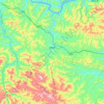
Name: 古障镇 topographic map, elevation, terrain.
Location: 古障镇, 西林县, 百色市, 广西壮族自治区, 中国 (24.32076 104.53891 24.64081 104.95207)
Average elevation: 1,093 m
Minimum elevation: 752 m
Maximum elevation: 1,847 m