
K/W Ward topographic map
Interactive map
Click on the map to display elevation.
About this map
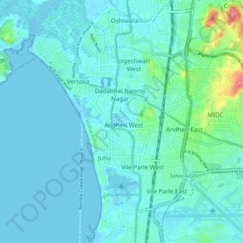
Name: K/W Ward topographic map, elevation, terrain.
Location: K/W Ward, Zone 3, Mumbai, Mumbai Suburban, Maharashtra, Inde (19.07990 72.78042 19.15653 72.84998)
Average elevation: 11 m
Minimum elevation: -1 m
Maximum elevation: 84 m
Other topographic maps
Click on a map to view its topography, its elevation and its terrain.