
Kuta topographic map
Interactive map
Click on the map to display elevation.
About this map
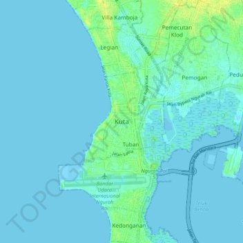
Name: Kuta topographic map, elevation, terrain.
Location: Kuta, Bali, JALAN BHINEKA JATI JAYA XI, Indonésie (-8.76784 115.13300 -8.68784 115.21300)
Average elevation: 3 m
Minimum elevation: -1 m
Maximum elevation: 15 m