
Maaseik topographic map
Interactive map
Click on the map to display elevation.
About this map
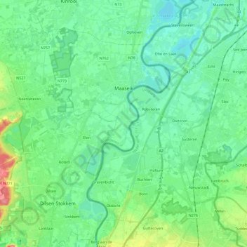
Name: Maaseik topographic map, elevation, terrain.
Location: Maaseik, Limbourg, Flandre, 3680, Belgique (51.01878 5.60733 51.12986 5.83383)
Average elevation: 35 m
Minimum elevation: 17 m
Maximum elevation: 91 m