
Nyabenge topographic map
Click on the map to display elevation.
About this map
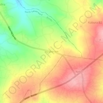
Name: Nyabenge topographic map, elevation, terrain.
Location: Nyabenge, North Sakwa ward, Bondo, Siaya County, Kenya (-0.08086 34.34990 -0.04086 34.38990)
Average elevation: 1,308 m
Minimum elevation: 1,236 m
Maximum elevation: 1,361 m