
İspir topographic map
Interactive map
Click on the map to display elevation.
About this map
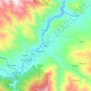
Name: İspir topographic map, elevation, terrain.
Location: İspir, Erzurum, Ostanatolien, Türkei (40.44338 40.95996 40.52338 41.03996)
Average elevation: 1,544 m
Minimum elevation: 1,104 m
Maximum elevation: 2,408 m