Geolocate

Nakrekal topographic map

Click on the map to display elevation.

Nakrekal

Nakrekal is located at 17°09′53″N 79°25′39″E / 17.16469834°N 79.42747827°E / 17.16469834; 79.42747827. It has an average elevation of 240 metres (790 ft).

Wikipedia (CC-BY-SA 3.0)

About this map

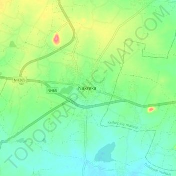
Name: Nakrekal topographic map, elevation, terrain.

Location: Nakrekal, Nakrekal mandal, Nalgonda District, Telangana, 508211, India (17.12476 79.38740 17.20476 79.46740)

Average elevation: 207 m

Minimum elevation: 182 m

Maximum elevation: 260 m

Gear up for your next adventure:

🛁Quick-Dry Microfiber Towel - Space-saving towel that dries rapidly on the move
🚲Handlebar Phone Mount - View topographic-map.com live while cycling
🧴Sunscreen SPF - Broad-spectrum sunscreen for outdoor activities
🥾Mountaineering Boots - Supportive boots for climbing and high-altitude hiking
🥾Light Trekking Boots - Supportive boots for multi-day treks

As an Amazon Associate, this site earns from qualifying purchases at no extra cost to you.