
Arbestal topographic map
Interactive map
Click on the map to display elevation.
About this map
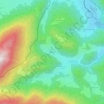
Name: Arbestal topographic map, elevation, terrain.
Location: Arbestal, Bezirk Neunkirchen, Basse-Autriche, 2734, Autriche (47.74205 15.87935 47.78205 15.91935)
Average elevation: 827 m
Minimum elevation: 543 m
Maximum elevation: 1,411 m