
Mollem topographic map
Interactive map
Click on the map to display elevation.
About this map
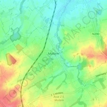
Name: Mollem topographic map, elevation, terrain.
Location: Mollem, Hal-Vilvorde, Brabant flamand, Flandre, 1730, Belgique (50.91285 4.20398 50.95285 4.24398)
Average elevation: 46 m
Minimum elevation: 23 m
Maximum elevation: 84 m