Geolocate

Panacan II topographic map

Click on the map to display elevation.

About this map

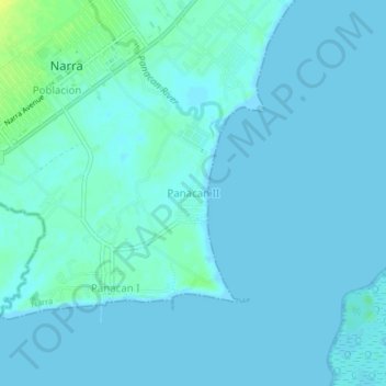
Name: Panacan II topographic map, elevation, terrain.

Location: Panacan II, Narra, Palawan, Mimaropa, 5303, Philippines (9.23625 118.39724 9.27625 118.43724)

Average elevation: 3 m

Minimum elevation: -1 m

Maximum elevation: 19 m

Gear up for your next adventure:

🧥Ultralight Puffy Jacket - Maximum warmth that packs down to the size of an orange
🥾Trail Running Boots - Durable shoes designed for trail running
🥾Approach Boots - Comfortable boots for hiking and climbing approaches
🔦LED Flashlight - Powerful and long-lasting flashlight for camping and emergencies
🥾Approach Shoes - Shoes designed for climbing approaches and rugged trails

As an Amazon Associate, this site earns from qualifying purchases at no extra cost to you.