
Byten topographic map
Interactive map
Click on the map to display elevation.
About this map
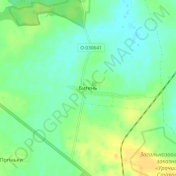
Name: Byten topographic map, elevation, terrain.
Location: Byten, Kovel Raion, Volyn Oblast, 45074, Ukraine (51.11209 24.94746 51.15209 24.98746)
Average elevation: 185 m
Minimum elevation: 174 m
Maximum elevation: 201 m