Geolocate

Hoya Partida topographic map

Click on the map to display elevation.

About this map

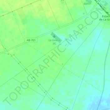
Name: Hoya Partida topographic map, elevation, terrain.

Location: Hoya Partida, La Gineta, Castilla-La Mancha, 02110, España (39.09130 -2.02693 39.11130 -2.00693)

Average elevation: 695 m

Minimum elevation: 688 m

Maximum elevation: 702 m

Gear up for your next adventure:

🔥Emergency Fire Starter - Reliable ignition source for all weather conditions
🔭Compact Monocular - One-handed bird watching and trail spotting
👟Sport Hiking Sandals - Breathable footwear for water crossings and camp rest
🛁Quick-Dry Microfiber Towel - Space-saving towel that dries rapidly on the move
🥽Outdoor Goggles - Protective eyewear for outdoor activities

As an Amazon Associate, this site earns from qualifying purchases at no extra cost to you.