Geolocate

Cavers topographic map

Click on the map to display elevation.

About this map

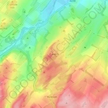
Name: Cavers topographic map, elevation, terrain.

Location: Cavers, Scottish Borders, Scotland, TD9 8LJ, United Kingdom (55.41264 -2.74727 55.45264 -2.70727)

Average elevation: 157 m

Minimum elevation: 79 m

Maximum elevation: 244 m

Gear up for your next adventure:

🛌Down Sleeping Bag - Superior warmth-to-weight ratio for cold nights
🚲MTB Frame Bag - Carry tools and maps directly on your bicycle frame
🥫Freeze-Dried Meals - Lightweight, high-calorie nutrition for multi-day treks
❄️Traction Ice Cleats - Slip-on spikes for icy trails and winter hiking
🧥Waterproof Jacket - Lightweight rain jackets for hiking and outdoor activities

As an Amazon Associate, this site earns from qualifying purchases at no extra cost to you.