
Thank you for supporting this site ❤️
Make a donation
Make a donation
Gear up for your next adventure:
As an Amazon Associate, this site earns from qualifying purchases at no extra cost to you.
Hosakote topographic map
Click on the map to display elevation.
Thank you for supporting this site ❤️
Make a donation
Make a donation
Gear up for your next adventure:
As an Amazon Associate, this site earns from qualifying purchases at no extra cost to you.
About this map
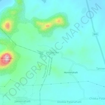
Name: Hosakote topographic map, elevation, terrain.
Location: Hosakote, Koratagere taluku, Tumakuru, Karnataka, India (13.43994 77.19488 13.47994 77.23488)
Average elevation: 840 m
Minimum elevation: 783 m
Maximum elevation: 1,122 m
Thank you for supporting this site ❤️
Make a donation
Make a donation
Gear up for your next adventure:
As an Amazon Associate, this site earns from qualifying purchases at no extra cost to you.