
City of Auburn topographic map
Interactive map
Click on the map to display elevation.
About this map
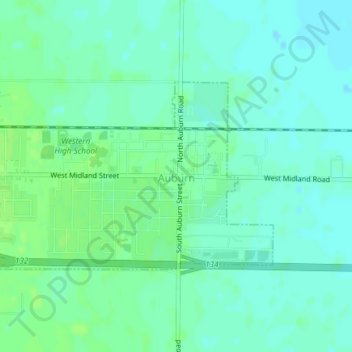
Name: City of Auburn topographic map, elevation, terrain.
Location: City of Auburn, Bay County, Michigan, United States (43.59627 -84.08962 43.61071 -84.05944)
Average elevation: 189 m
Minimum elevation: 184 m
Maximum elevation: 193 m