
Pagedangan topographic map
Interactive map
Click on the map to display elevation.
About this map
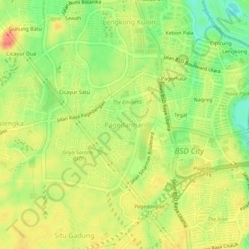
Name: Pagedangan topographic map, elevation, terrain.
Location: Pagedangan, Kabupaten Tangerang, Banten, 15341, Indonesien (-6.31796 106.61355 -6.27796 106.65355)
Average elevation: 39 m
Minimum elevation: 9 m
Maximum elevation: 63 m