Geolocate

Anis topographic map

Click on the map to display elevation.

About this map

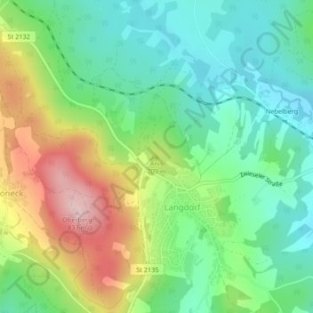
Name: Anis topographic map, elevation, terrain.

Location: Anis, Langdorf, Landkreis Regen, Bayern, 94264, Deutschland (49.01766 13.14422 49.01776 13.14432)

Average elevation: 657 m

Minimum elevation: 565 m

Maximum elevation: 824 m

Gear up for your next adventure:

🧣Evaporative Cooling Towel - Beat the heat during intense summer climbs
🚲Handlebar Phone Mount - View topographic-map.com live while cycling
🧢Hiking Hat - Sun-protective and breathable hats for long treks
🥾Hiking Boots - Sturdy boots providing ankle support and traction on rugged trails
🦌Outdoor Trail Camera - Monitor wildlife activity near your favorite spots

As an Amazon Associate, this site earns from qualifying purchases at no extra cost to you.