
Saint-Hadelin topographic map
Interactive map
Click on the map to display elevation.
About this map
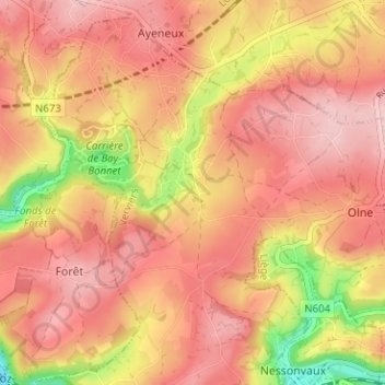
Name: Saint-Hadelin topographic map, elevation, terrain.
Location: Saint-Hadelin, Olne, Verviers, Liège, Wallonie, 4877, Belgique (50.57216 5.70051 50.61216 5.74051)
Average elevation: 210 m
Minimum elevation: 92 m
Maximum elevation: 268 m
Other topographic maps
Click on a map to view its topography, its elevation and its terrain.