Geolocate

Lago di Devero topographic map

Click on the map to display elevation.

About this map
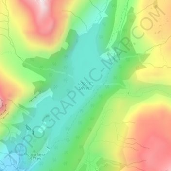
Name: Lago di Devero topographic map, elevation, terrain.

Location: Lago di Devero, Baceno, Verbano-Cusio-Ossola, Piemonte, Italia (46.33100 8.28142 46.35084 8.30040)

Average elevation: 2,066 m

Minimum elevation: 1,772 m

Maximum elevation: 2,509 m

Gear up for your next adventure:

🌡️Emergency Mylar Blankets - Compact thermal protection for unexpected nights outdoors
🥾Approach Boots - Comfortable boots for hiking and climbing approaches
💧Filtered Water Bottle - Safe drinking water on the go
🥾Hiking Leggings - Comfortable leggings for outdoor activities
🧭Orienteering Kit - Tools for map reading and navigation in the wild

As an Amazon Associate, this site earns from qualifying purchases at no extra cost to you.