
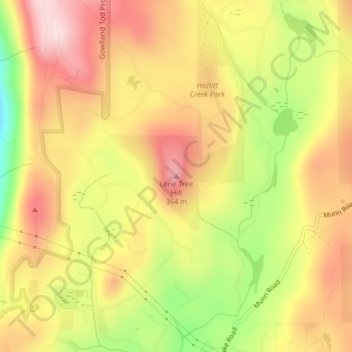
Lone Tree Hill topographic map
Click on the map to display elevation.
About this map
Name: Lone Tree Hill topographic map, elevation, terrain.
Average elevation: 229 m
Minimum elevation: 30 m
Maximum elevation: 376 m
Capital Regional District trails, hiking, mountain biking, running and outdoor activities
Other topographic maps
Click on a map to view its topography, its elevation and its terrain.
Highland Land District
Canada > British Columbia > Capital Regional District > Highlands
Average elevation: 157 m